

Trails
More than 85 miles, nine local chapters
The Regional Trail Corporation maintains rail-trails across 3 southwestern Pennsylvania counties, six of them consecutive sections of the Great Allegheny Passage, the rest regional trails close to home.
The Great Allegheny Passage
GAP sections we maintain
The GAP runs 150 miles from Cumberland, Maryland to Pittsburgh, Pennsylvania. These six chapters care for about 54 miles of its Pennsylvania mileage, a nearly flat, crushed-limestone route that rarely exceeds a 2% grade. They're sections of one continuous trail, not separate trails.
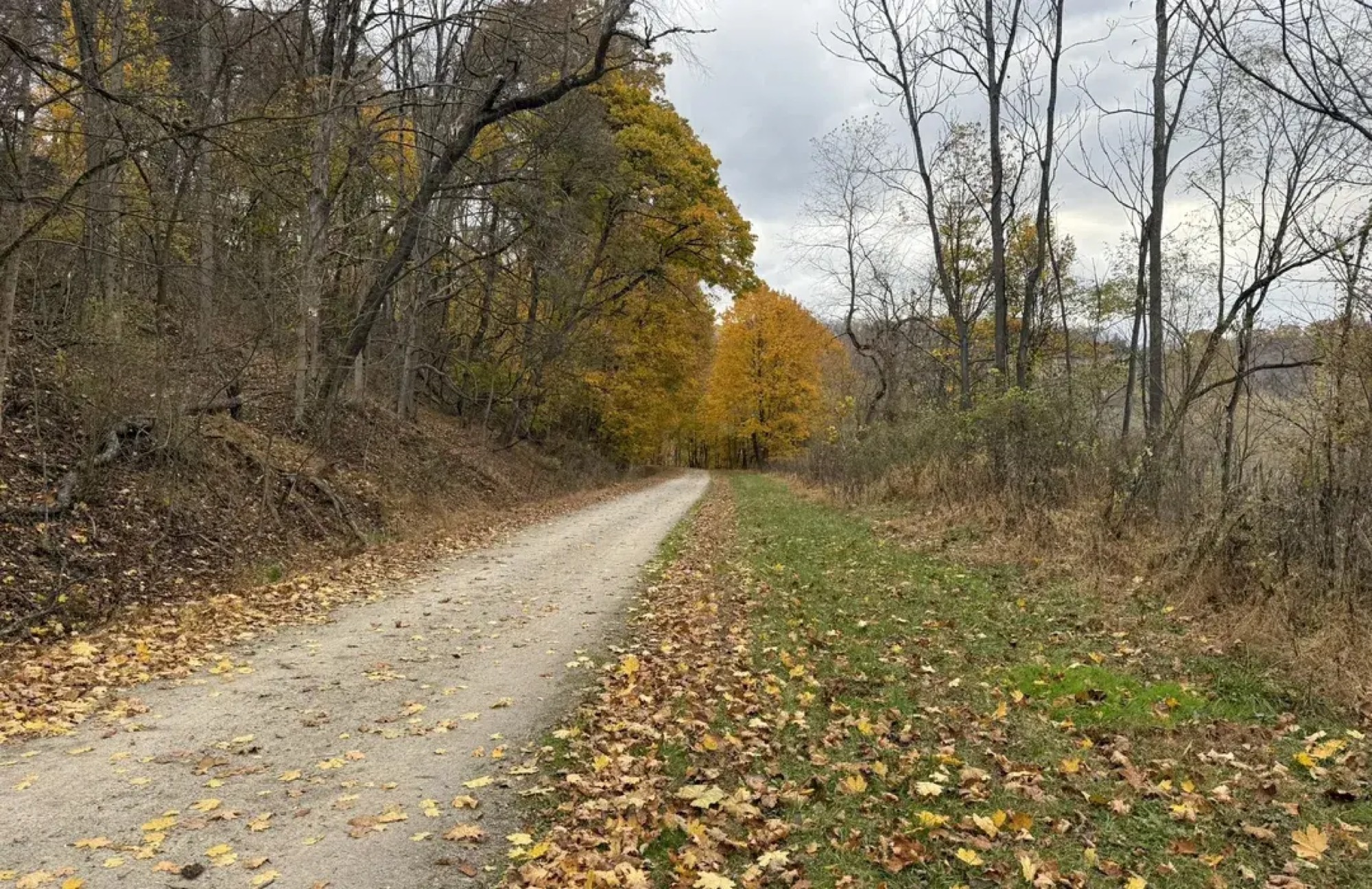 Great Allegheny Passage
1.8 miles · Allegheny County
McKeesport Trail Commission
The city-appointed commission that connects, maintains, and improves the GAP and the McKeesport LOOP through the City of McKeesport.
GAP mileposts 131-133
Explore this trail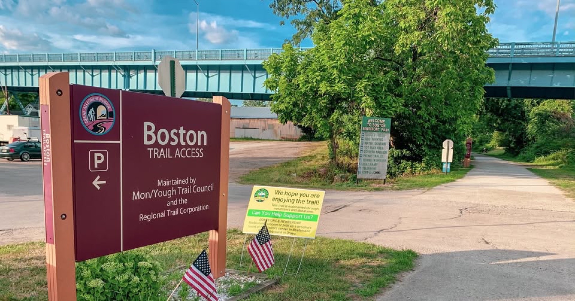 Great Allegheny Passage
15.8 miles · Allegheny County
Mon/Yough Trail Council
The Mon/Yough section of the Great Allegheny Passage along the Youghiogheny River, with a seasonal visitor center at the Boston trailhead.
GAP mileposts 115-131
Explore this trail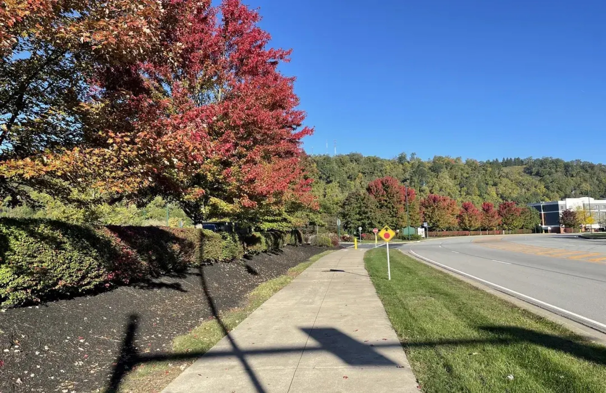 Great Allegheny Passage
9.6 miles · Allegheny County
Steel Valley Trail Council
The Mon Valley section of the Great Allegheny Passage, linking McKeesport, Duquesne, and the Homestead Waterfront on the doorstep of Pittsburgh.
GAP mileposts 133-142
Explore this trail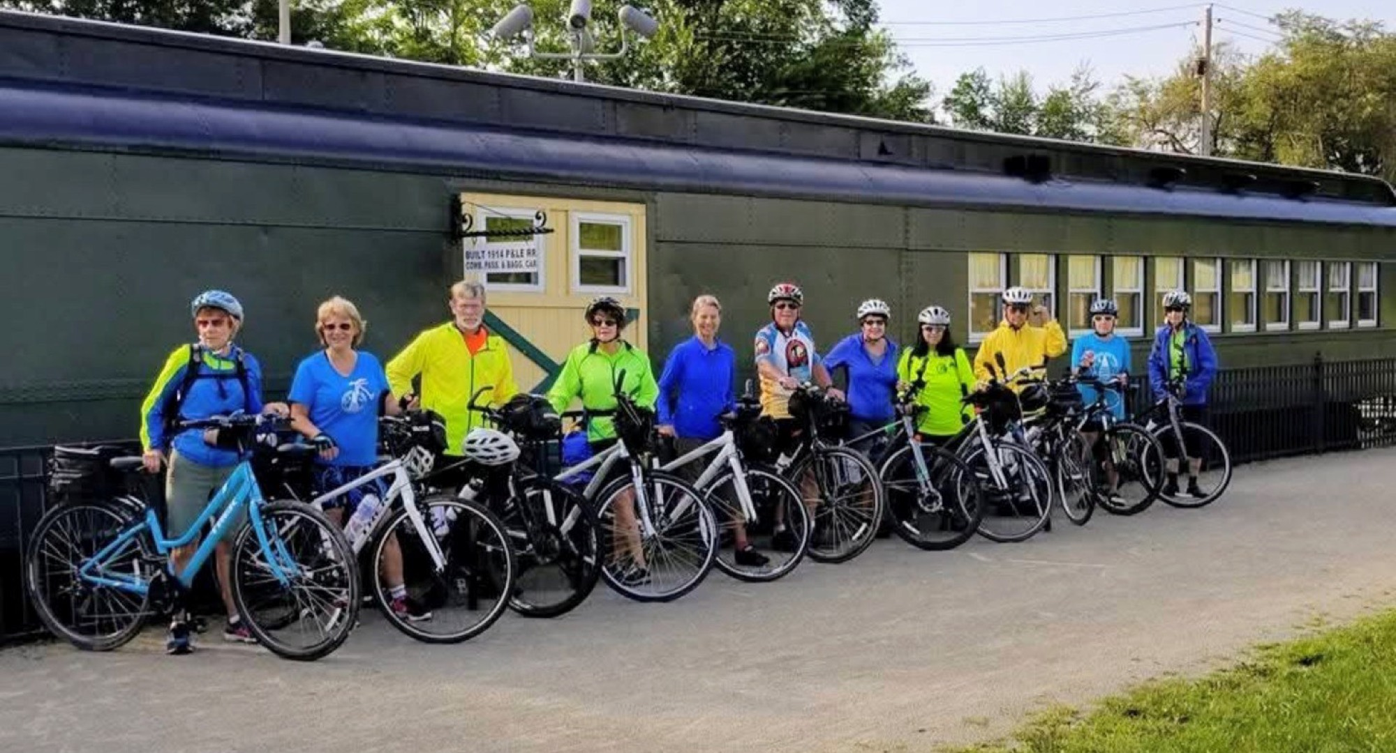 Great Allegheny Passage
9.3 miles · Westmoreland County
Westmoreland Yough Trail Council
9.3 wooded miles of the Great Allegheny Passage along the Youghiogheny River through southern Westmoreland County, with a visitor center in West Newton.
GAP mileposts 106-115
Explore this trail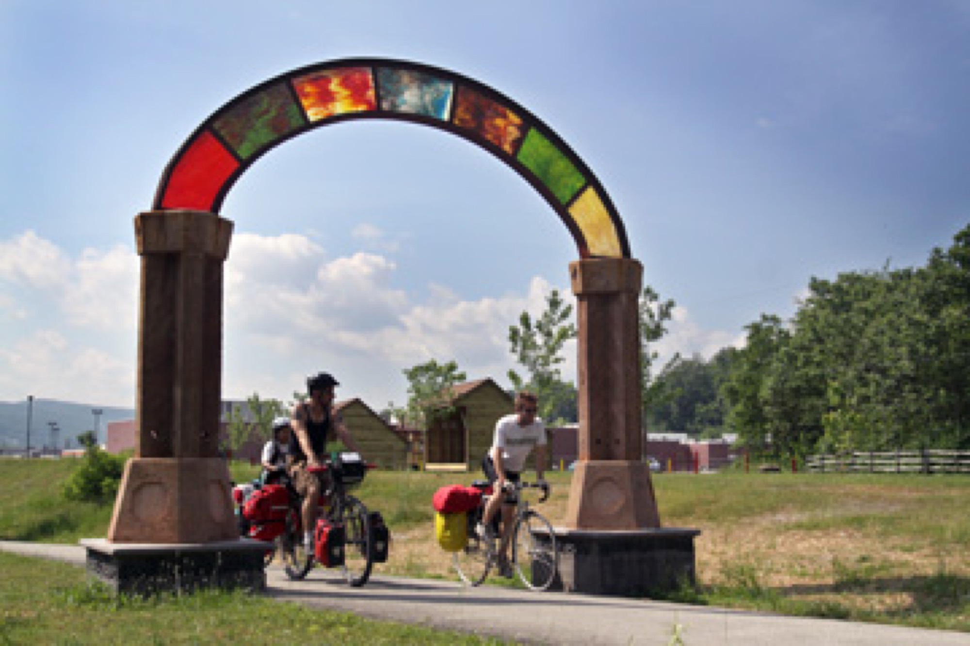 Great Allegheny Passage
4.5 miles · Fayette County
Whitsett/Fayette Yough Trail Council
A short, family-focused section of the Great Allegheny Passage around mileposts 102–106 with a playground, ball field, pavilions, and paved parking.
GAP mileposts 102-106
Explore this trail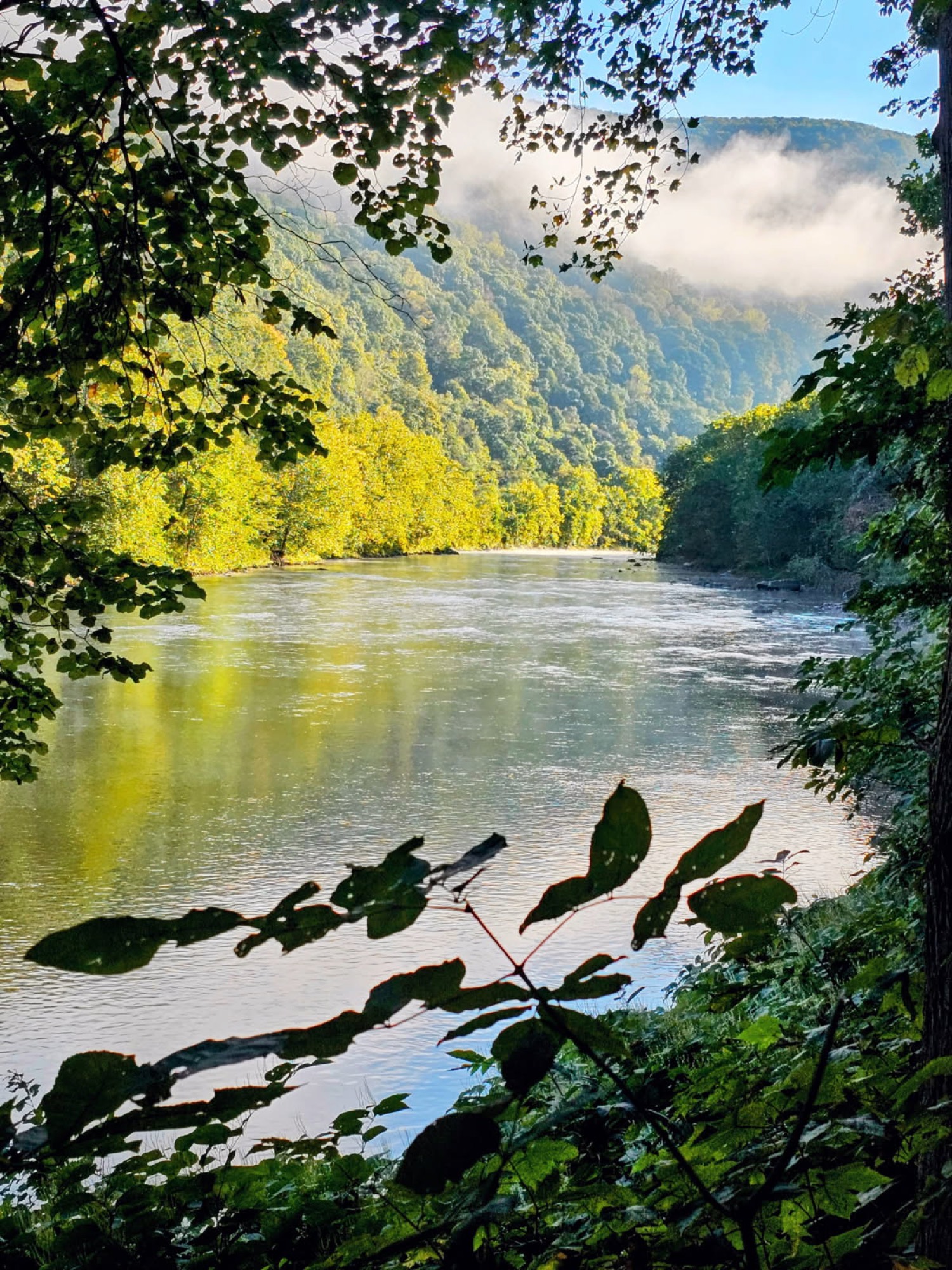 Great Allegheny Passage
12.6 miles · Fayette County
Yough River Trail Council
A flat, 12.6-mile stretch of the Great Allegheny Passage along the Youghiogheny River through Connellsville and the Fayette County countryside.
GAP mileposts 89-102
Explore this trailRegional trails
Trails beyond the Passage
Not every great trail is part of the GAP. These regional rail-trails are favorites for everyday walking, running, and family rides.
 Regional Trail
6.1 miles · Westmoreland County
Coal and Coke Trail
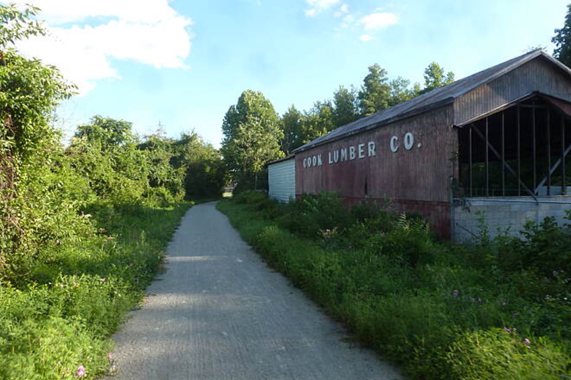
A history-rich rail-trail between Mount Pleasant and Scottdale, following Jacob's Creek past old coke ovens in the heart of the coke region.
Mile markers 0-5, Mount Pleasant to Scottdale
Explore this trail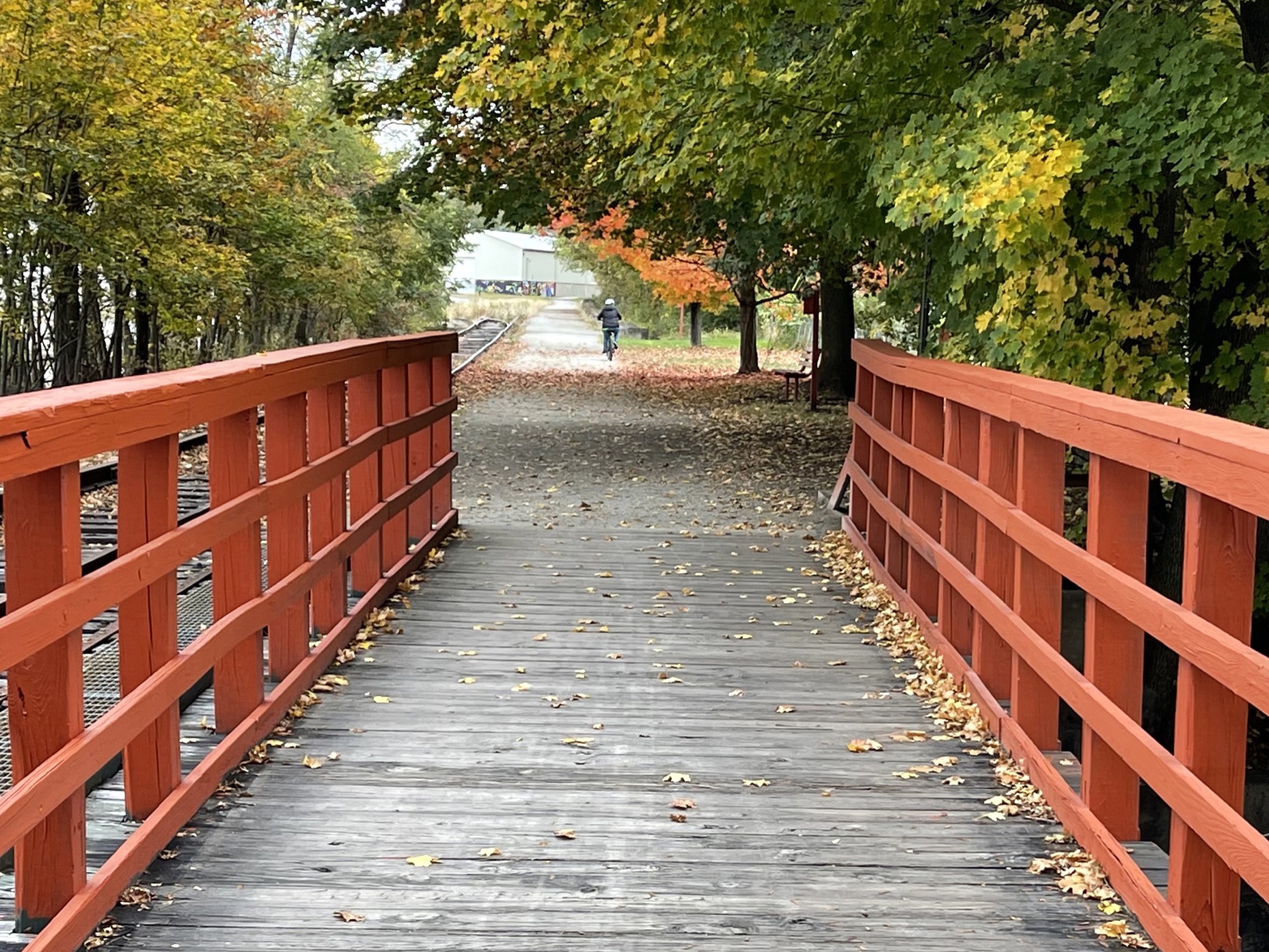 Regional Trail
7.8 miles · Westmoreland County
Five Star Trail
A flat, accessible rail-with-trail from Greensburg to Youngwood, popular for walking, running, and easy family rides in the heart of Westmoreland County.
Mile markers 0-6.1, Lynch Field to Youngwood
Explore this trail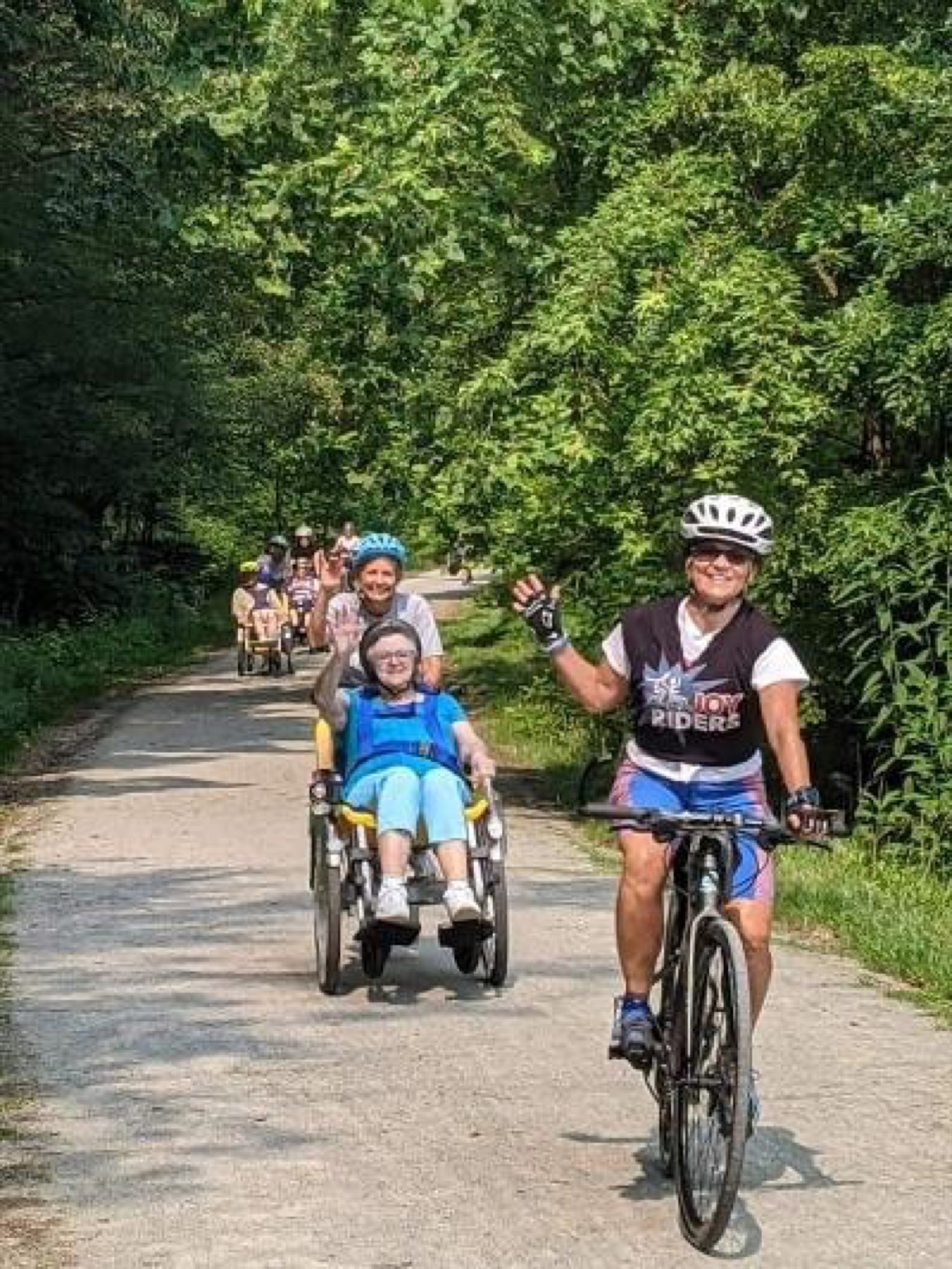 Regional Trail
8.5 + 10.2 miles · Westmoreland County
Westmoreland Heritage Trail
A scenic, wide, accessible rail-trail through Westmoreland County's heritage communities, two growing sections aimed at a 22-mile route that will one day reach the GAP.
Mile markers 0-22, Saltsburg to Trafford
Explore this trailAt a glance
Compare the trails
Length, location, surface, and accessibility for every chapter, handy when you're deciding where to ride or walk next.
- Length
- 6.1 miles
- County
- Westmoreland County, Fayette County
- Surface
- Crushed limestone (firm, fine-packed)
- Length
- 7.8 miles
- County
- Westmoreland County
- Surface
- Crushed limestone (firm, fine-packed)
- McKeesport Trail CommissionGAP section
- Length
- 1.8 miles
- County
- Allegheny County
- Surface
- Mixed crushed limestone and paved sections
- Mon/Yough Trail CouncilGAP section
- Length
- 15.8 miles
- County
- Allegheny County, Westmoreland County
- Surface
- Crushed limestone (firm, fine-packed)
- Steel Valley Trail CouncilGAP section
- Length
- 9.6 miles
- County
- Allegheny County
- Surface
- Mixed crushed limestone and paved sections
- Length
- 8.5 miles (Saltsburg–Delmont) + 10.2 miles (Export–Trafford)
- County
- Westmoreland County
- Surface
- Wide crushed limestone, ADA-compliant
- Westmoreland Yough Trail CouncilGAP section
- Length
- 9.3 miles
- County
- Westmoreland County
- Surface
- Crushed limestone (firm, fine-packed)
- Whitsett/Fayette Yough Trail CouncilGAP section
- Length
- 4.5 miles
- County
- Fayette County
- Surface
- Crushed limestone, with paved parking
- Yough River Trail CouncilGAP section
- Length
- 12.6 miles
- County
- Fayette County
- Surface
- Crushed limestone (firm, fine-packed)
Planning a longer trip? See maps & trip planning.
Help keep the trails there for you.
Whether you pitch in on a volunteer day or chip in a few dollars, every TrailKeeper makes the next mile possible.