
Coal and Coke Trail
The Coal and Coke Trail links Mount Pleasant and Scottdale in Westmoreland County, Pennsylvania, following Jacob's Creek and the old railroad corridors of the coke region about 15 miles southeast of Greensburg.
Overview
About the Coal & Coke trail
Ride or walk through history as you travel the Coal & Coke Trail, linking Mount Pleasant and Scottdale. Set on scenic old railroad corridors, the trail provides outdoor recreation for walkers, joggers, bikers, hikers, and cross-country skiers, and offers non-motorized, ADA-compliant transportation for area residents and tourists.
Along the way, enjoy beautiful natural areas and wildlife while following Jacob's Creek past old coke ovens. You'll be traveling in history's footsteps, along the same paths as General Braddock, H.C. Frick, Andrew Carnegie, A.C. Cochran, and others.
Good for
- Walking
- Running
- Cycling
- Hiking
- Cross-country skiing
The setting
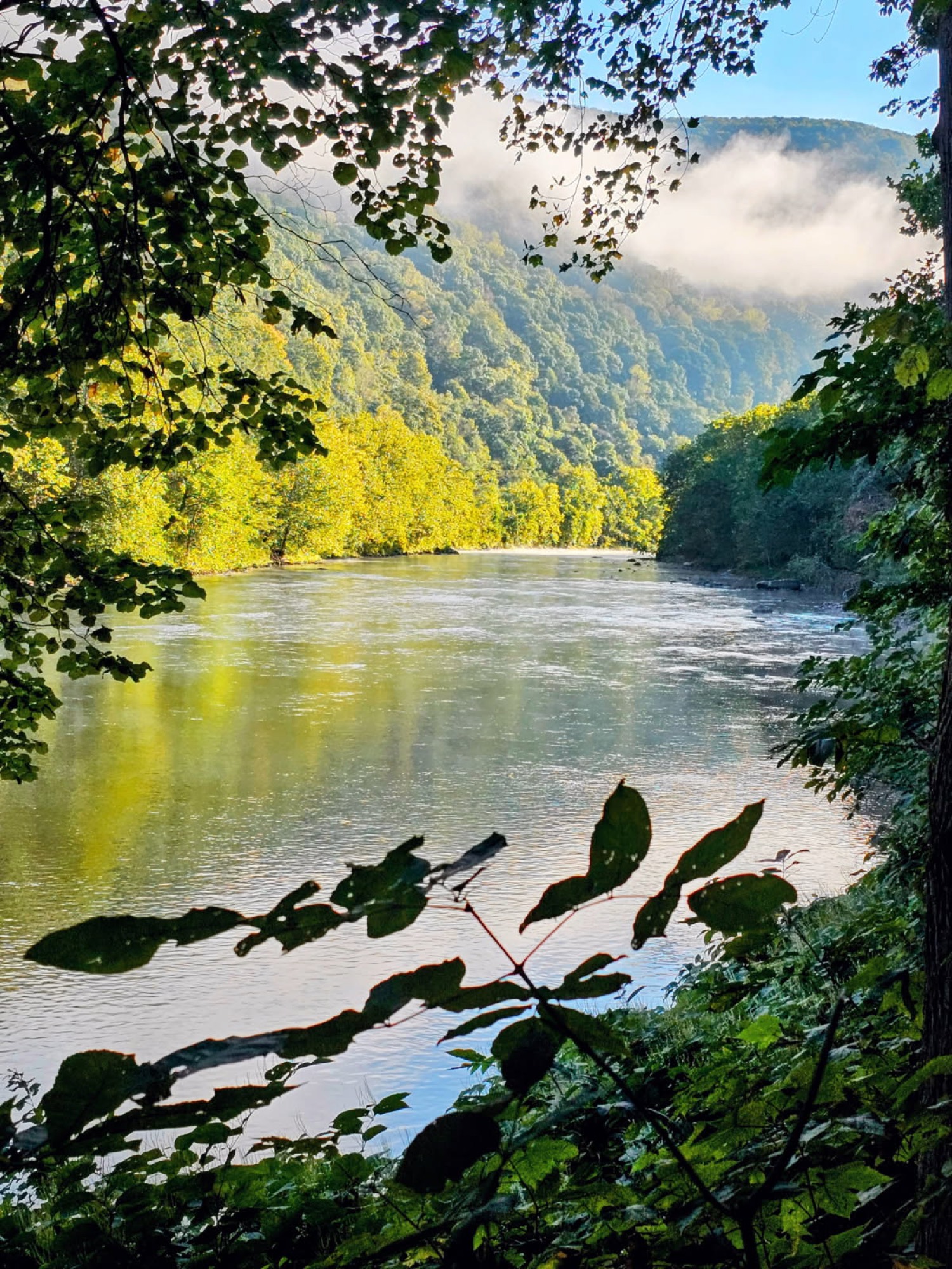
What you’ll see
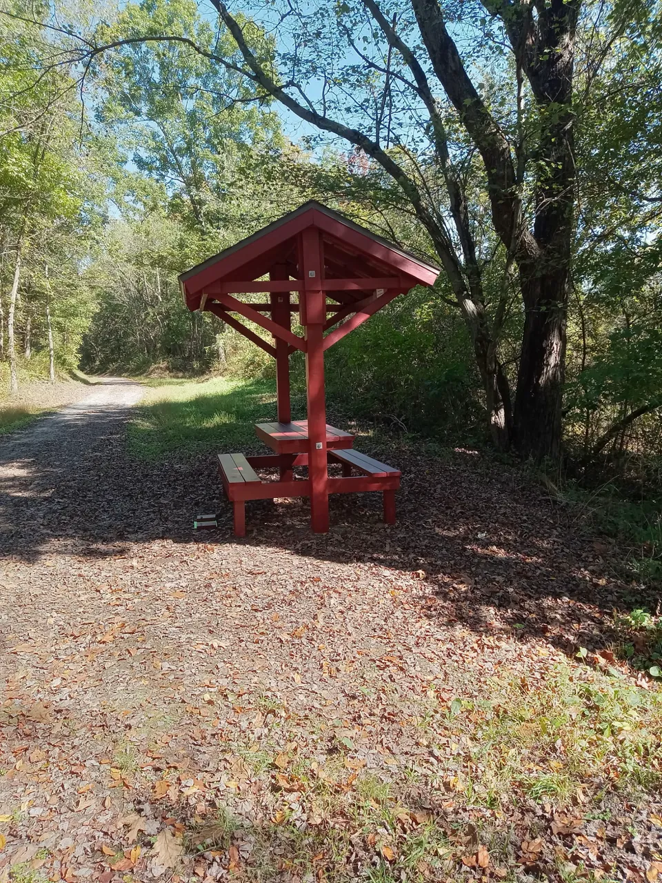
A quiet, wooded creek corridor along Jacob's Creek, with abundant natural areas and wildlife — one of the region's most peaceful, least-crowded trails.
The history
Rail & industrial heritage
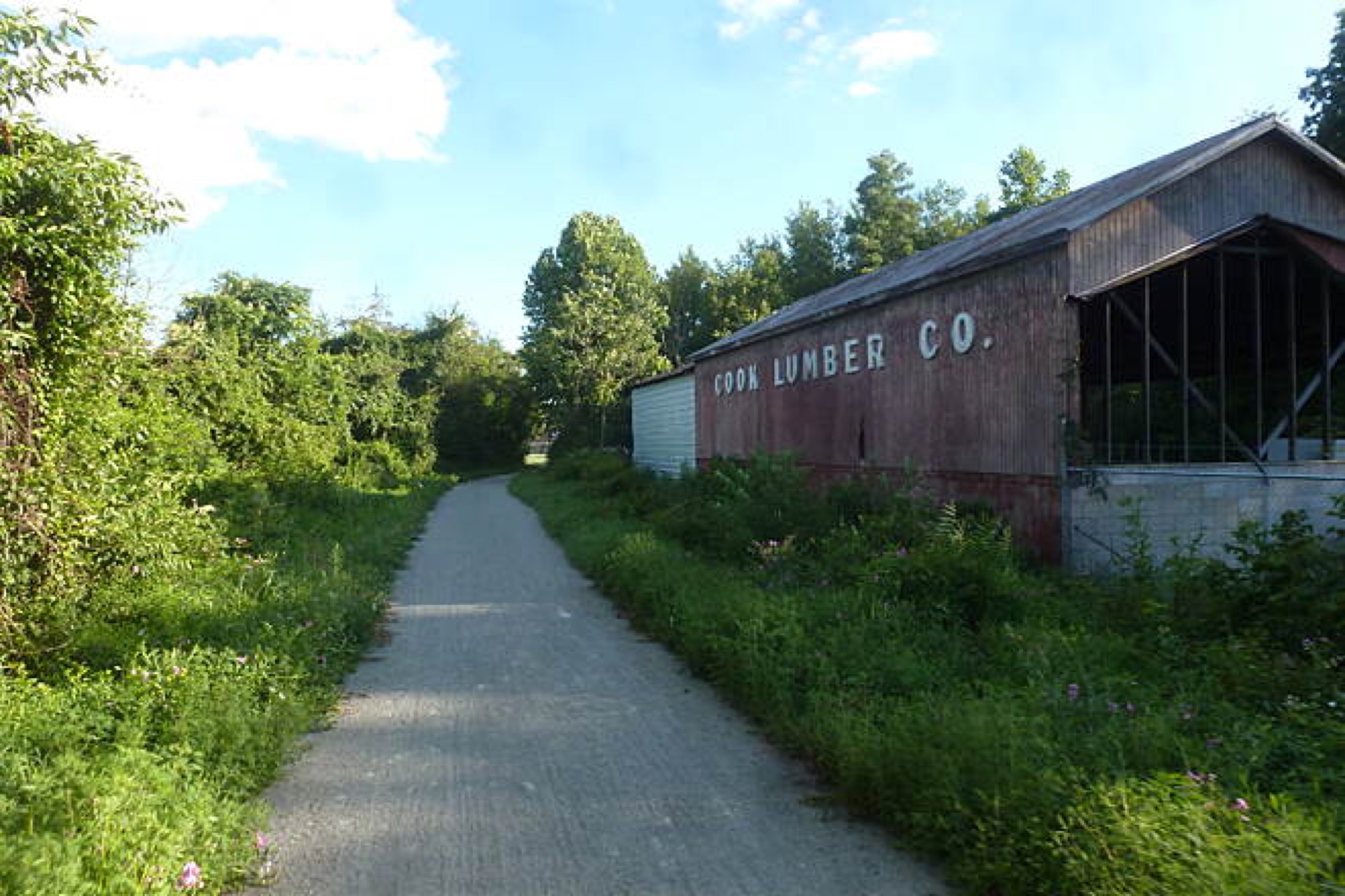
This is the heart of the coke region. The trail passes old coke ovens that once fed the steel mills of Pittsburgh, and follows ground walked by General Braddock and later by industrialists H.C. Frick and Andrew Carnegie.
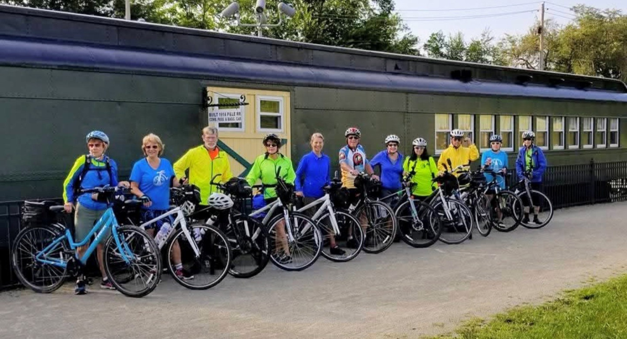
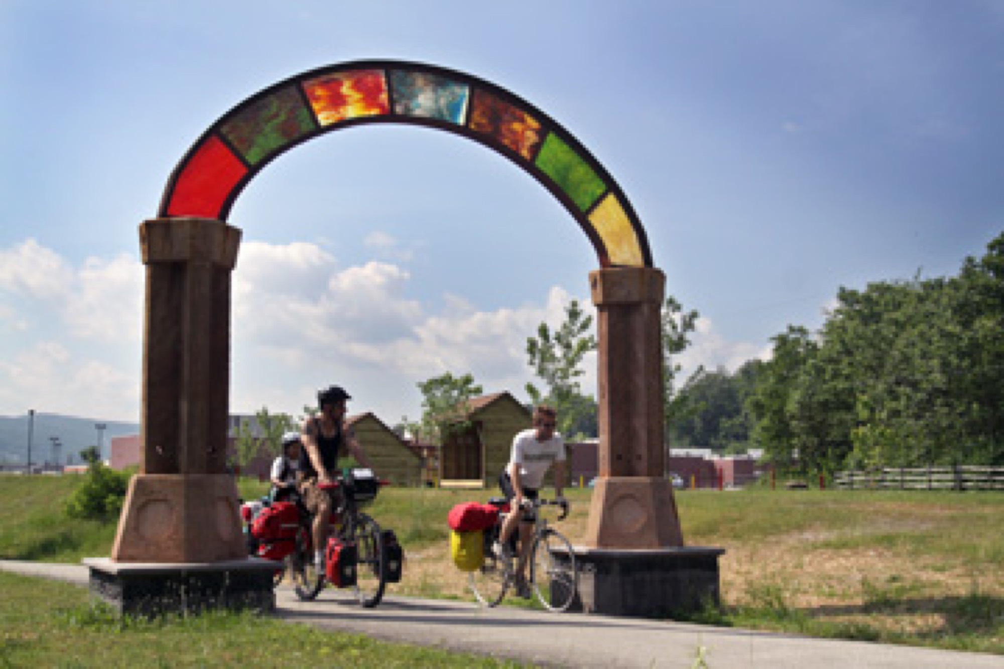
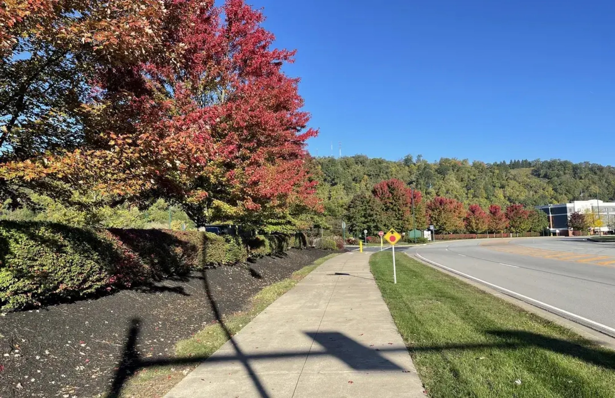
On the trail
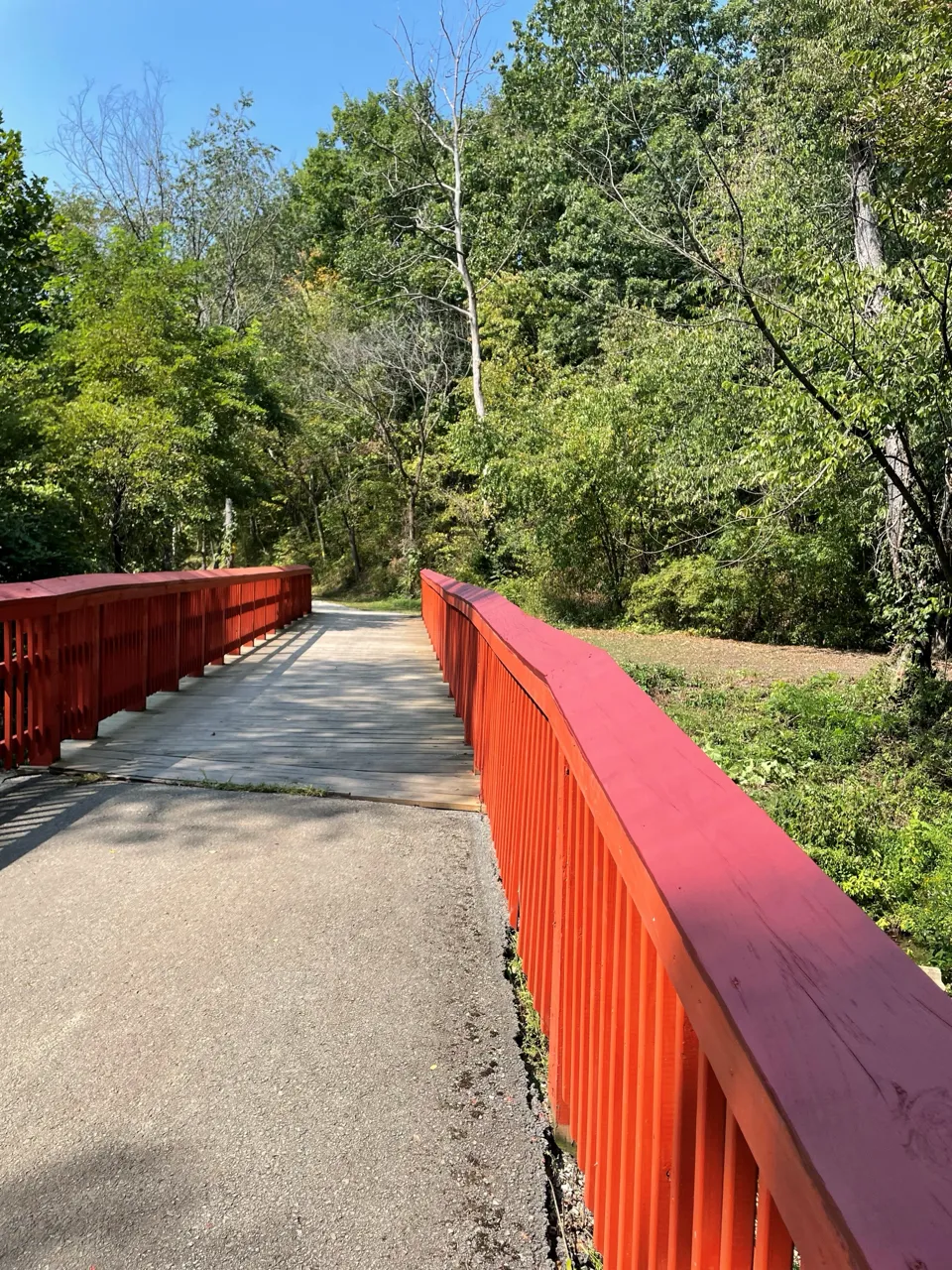
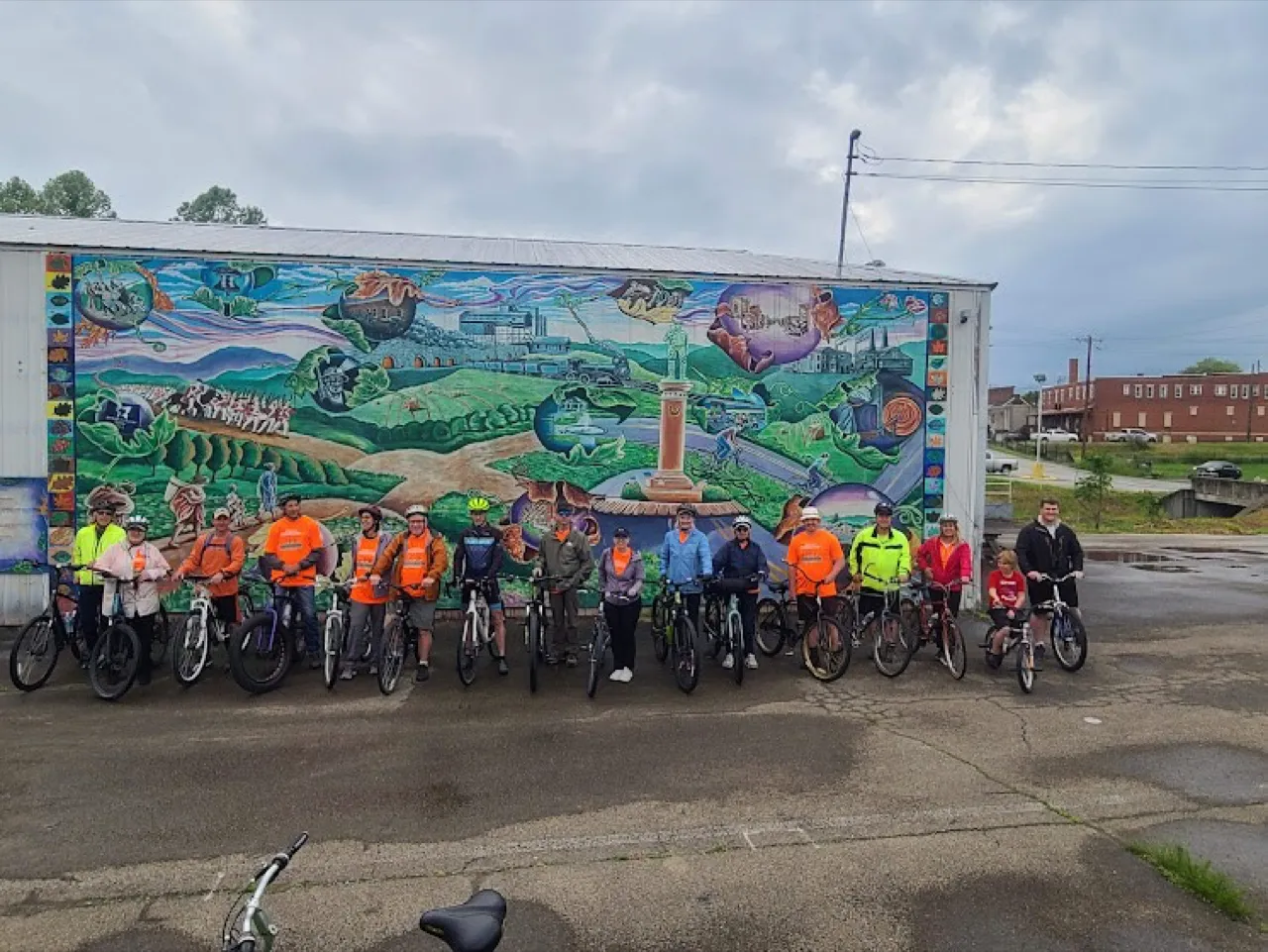
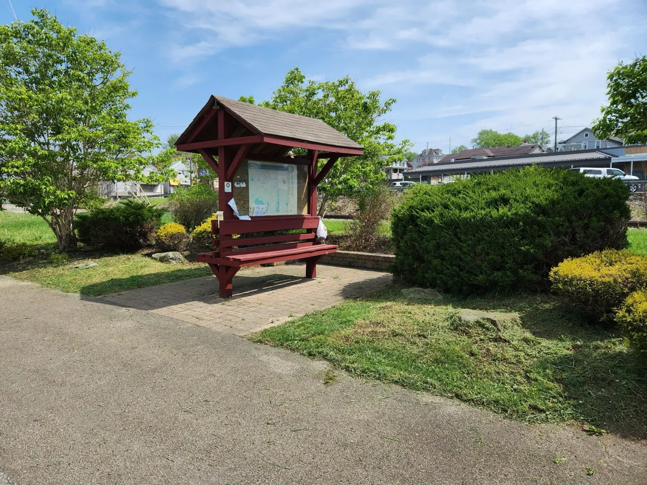
Scenes from the Coal & Coke trail
Getting on the trail
Trailheads & access
Mount Pleasant
Northern end, Westmoreland County
Scottdale
Southern end, near the Fayette County line
Amenities
Facilities along the way
- Trail parking in Mount Pleasant and Scottdale
- Accessible, non-motorized surface
- Interpretive history along the route
Keep this trail open
Volunteers maintain the trail surface and interpretive features that tell the coke region's story.
Meet the people who maintain this trail
Chapter officers
President
Mike Mitrisin
mmsrop12@gmail.com412-779-3532Vice President
Dan Copeland
copeland.daniel@icloud.com724-309-0393Treasurer
Bob Keeler
rakdc@yahoo.com412-610-0001Secretary
Russell Wells
rcswells@zoominternet.net724-244-0122
Contact
Good to know
Coal & Coke trail FAQ
- Where is the Coal and Coke Trail?
- The Coal and Coke Trail links Mount Pleasant and Scottdale in Westmoreland County, Pennsylvania, following Jacob's Creek and the old railroad corridors of the coke region about 15 miles southeast of Greensburg.
- How long is the Coal and Coke Trail?
- The Coal and Coke Trail covers 6.1 miles. A history-rich rail-trail between Mount Pleasant and Scottdale, following Jacob's Creek past old coke ovens in the heart of the coke region.
- Is the Coal and Coke Trail part of the Great Allegheny Passage?
- No. The Coal and Coke Trail is a regional rail-trail maintained by a Regional Trail Corporation chapter; it is not part of the Great Allegheny Passage.
- Is the Coal and Coke Trail accessible and family-friendly?
- Non-motorized and ADA-compliant, providing recreation and accessible transportation for residents and tourists between Mount Pleasant and Scottdale.
- How can I volunteer on the Coal and Coke Trail?
- Volunteers maintain the trail surface and interpretive features that tell the coke region's story. To get involved, contact mmsrop12@gmail.com.
Help keep the trails there for you.
Whether you pitch in on a volunteer day or chip in a few dollars, every TrailKeeper makes the next mile possible.