

Maps & trip planning
Plan your ride or walk
An interactive map of the whole network, maps for every chapter, plus the practical facts (surfaces, grades, parking, water, and camping) that make for a smooth day on the trail.
Before you ride
Trail rules & safety
A few shared rules keep the trails safe and open for everyone. As partners on the Great Allegheny Passage, RTC follows the GAP's rules and safety guidance.
Sharing the trail
- Keep right and pass on the left; call out or use a bell before you pass.
- Trails are non-motorized: no cars, ATVs, or dirt bikes.
- Leashed, well-behaved dogs are welcome; please pack out any waste.
- Open year-round, free of charge, dawn to dusk.
E-bikes & mobility devices
- Pedal-assist e-bikes are welcome when they meet the GAP standards: a motor of 750 watts or less, under 100 pounds, no more than 36 inches wide, with fully operating pedals.
- The GAP speed limit is 15 mph.
- Wheelchairs and mobility devices built for people with disabilities are always welcome.
Interactive map
Explore the whole network
Pan and zoom the full Great Allegheny Passage and regional trails: trailheads and amenities, mile markers, street crossings, elevation, and tap-to-measure distance. Use the chips to jump to any chapter.
Legend
Tip: tap a trail line or its label to see its elevation profile.
The Great Allegheny Passage
The whole 150-mile route over two sheets, with towns, mileages, and trailheads. Save it to your phone before you head out of cell range.
Coal & Coke, Five Star & Westmoreland Heritage
Detail maps for the three trails that are not part of the Passage, with mile markers, parking, restrooms, and the towns each one runs through.
Know before you go
Trip-planning essentials
The questions trail users ask most, answered for the southwestern Pennsylvania rail-trails.
How flat are the trails?
These are rail-trails, so grades almost never exceed 2%. The Great Allegheny Passage is famously gentle, climbing steadily but never steeply between Pittsburgh and the Eastern Continental Divide.
What's the surface like?
Most sections are firm, fine crushed limestone, well suited to hybrid, gravel, and touring bikes, as well as joggers and most strollers. The Steel Valley and McKeesport sections mix in paved stretches.
Where do I park?
Every chapter has marked trailheads with parking, from McKees Point in McKeesport to Lynch Field in Greensburg to the Connellsville trailhead. Each trail page lists its trailheads and addresses.
Where are restrooms and water?
Year-round water and restrooms are at the Connellsville trailhead; seasonal facilities and a visitor center are at the Boston trailhead; and West Newton, Smithton, and others offer restrooms in season.
Can I camp along the way?
Yes. The Yough River chapter runs a campground with Adirondack shelters at the Connellsville trailhead plus a primitive campground at Round Bottom, and the Mon/Yough chapter has a campground in Elizabeth Township near the Boston trailhead.
How do the trails connect?
The Steel Valley Trail links the GAP to Pittsburgh's Three Rivers Heritage Trail and on to Point State Park, and to the Montour Trail toward the airport. At Cumberland, Maryland the GAP meets the C&O Canal Towpath for a continuous route to Washington, D.C.
Trail maps
Maps by chapter
Tap any map for that chapter's full details: trailheads, facilities, highlights, and contacts.
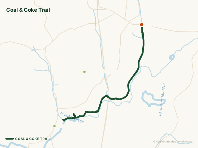
Coal and Coke Trail
6.1 miles · Westmoreland County
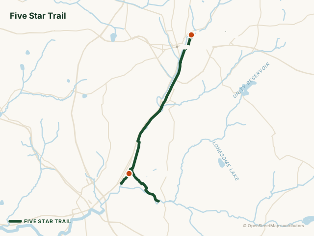
Five Star Trail
7.8 miles · Westmoreland County
McKeesport Trail Commission
1.8 miles · Allegheny County
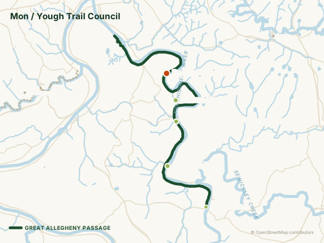
Mon/Yough Trail Council
15.8 miles · Allegheny County
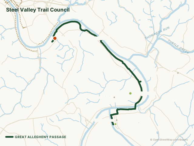
Steel Valley Trail Council
9.6 miles · Allegheny County
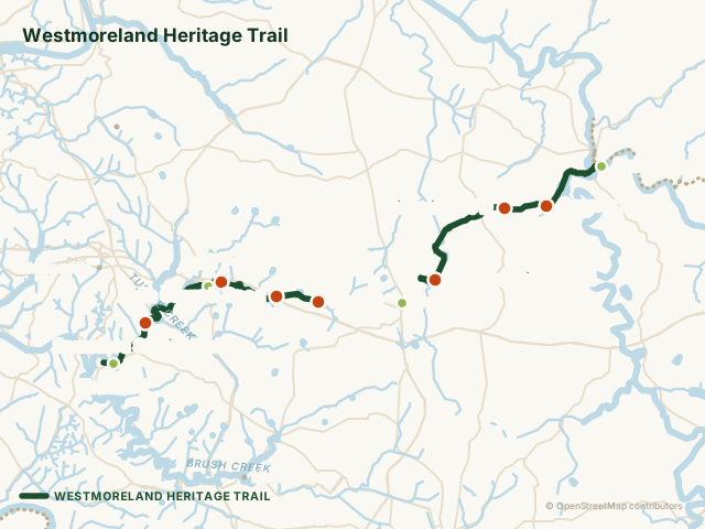
Westmoreland Heritage Trail
8.5 miles (Saltsburg–Delmont) + 10.2 miles (Export–Trafford) · Westmoreland County
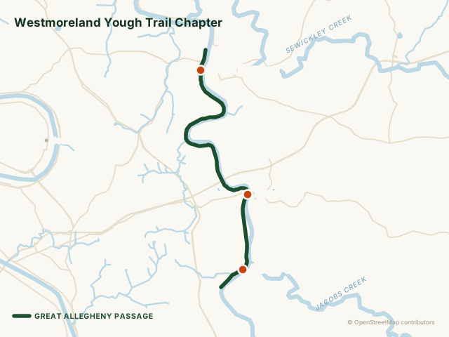
Westmoreland Yough Trail Council
9.3 miles · Westmoreland County
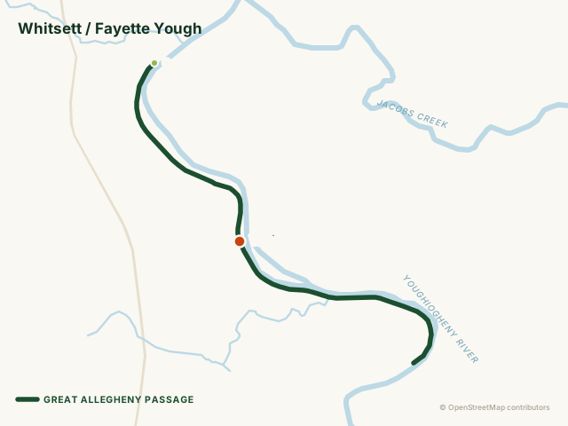
Whitsett/Fayette Yough Trail Council
4.5 miles · Fayette County
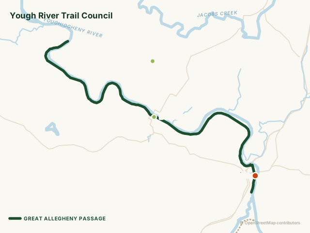
Yough River Trail Council
12.6 miles · Fayette County
Going the distance?
For end-to-end Great Allegheny Passage planning (mile-by-mile maps, lodging, and shuttle services across the full 150-mile route to Cumberland), these partner resources are the best place to start.
Planning an event on the trail?
Organized rides, walks, races, and commercial activities need a permit from RTC. Find your trail’s application, along with lead times, fees, and insurance requirements.
Help keep the trails there for you.
Whether you pitch in on a volunteer day or chip in a few dollars, every TrailKeeper makes the next mile possible.